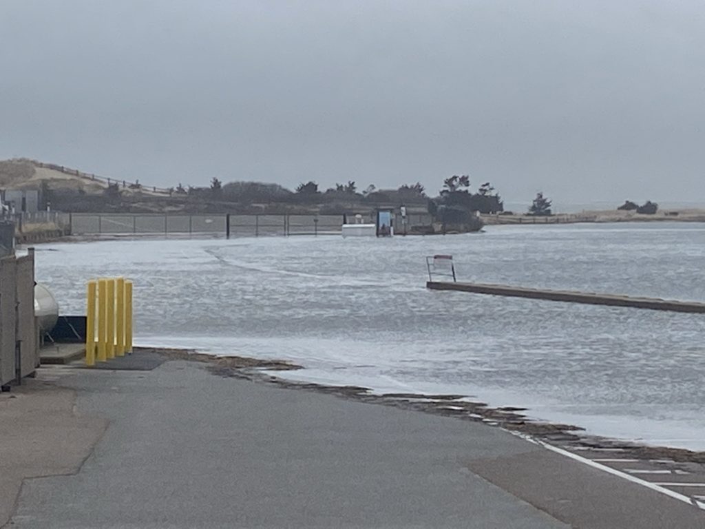
Exceptionally high tides are becoming the new normal for our region. When tides are 1 foot higher than the average high tide, the Napatree entrance floods. In the winter, this will be a cold, wet wade to return to the parking lot!
It is always wise to check a tide table before visiting Napatree. We recommend checking the NOAA Montauk Point tide gauge. The timing and magnitude of high and low tides for Montauk are the same as Watch Hill Harbor. We prefer the NOAA gauge because it predicts upcoming tides. The gauges at Watch Hill Point and Watch Hill Harbor do not show upcoming tides, only past tide levels.
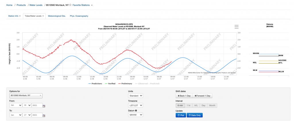
Here is a link to the Montauk Gauge. This will give you a graph of the tides for the day expressed in MHHW (Mean Higher High Water). If the tide level is greater than one, you will likely see flooding at the Napatree entrance. The blue line is the predicted tide, the red line is the actual observed tide.
When checking any tide table to see if Napatree will flood, you have to be careful which datum (reference point) the tide is reported in. Any tide greater than the following datums will flood the Napatree entrance.
** 1 foot or more MHHW (Mean Higher High Water)
** 2.2 feet or more NAVD88 (North American Vertical Datum 88)
** 3.5 feet or more MLLW (Mean Lower Low Water)
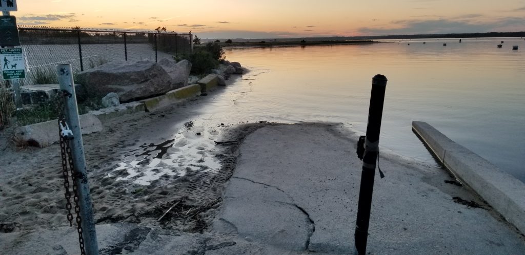
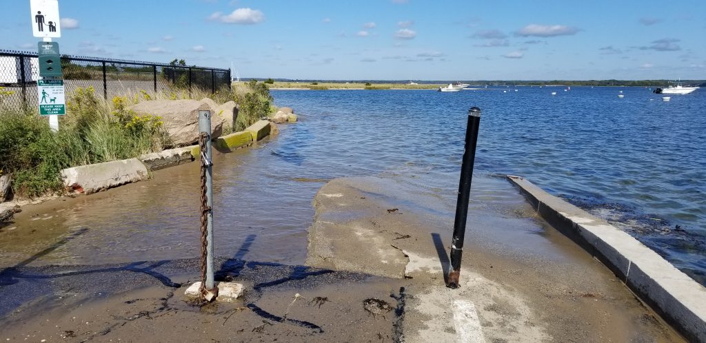
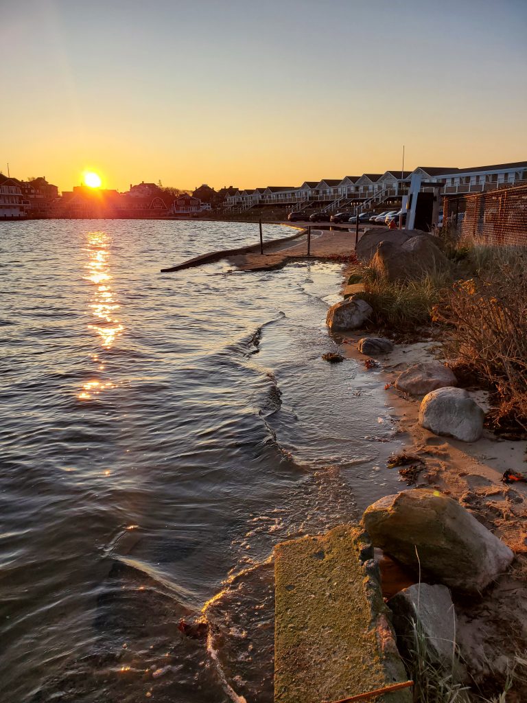
Here are some photos of various tide conditions for the area around the Napatree entrance.
If you want to see exactly how high or low a tide has been for Watch Hill, visit the USGS gage in the Watch Hill Cove. The tides are expressed in feet relative to NAVD88.