Sea Level Rise in Watch Hill: The Future is Now:
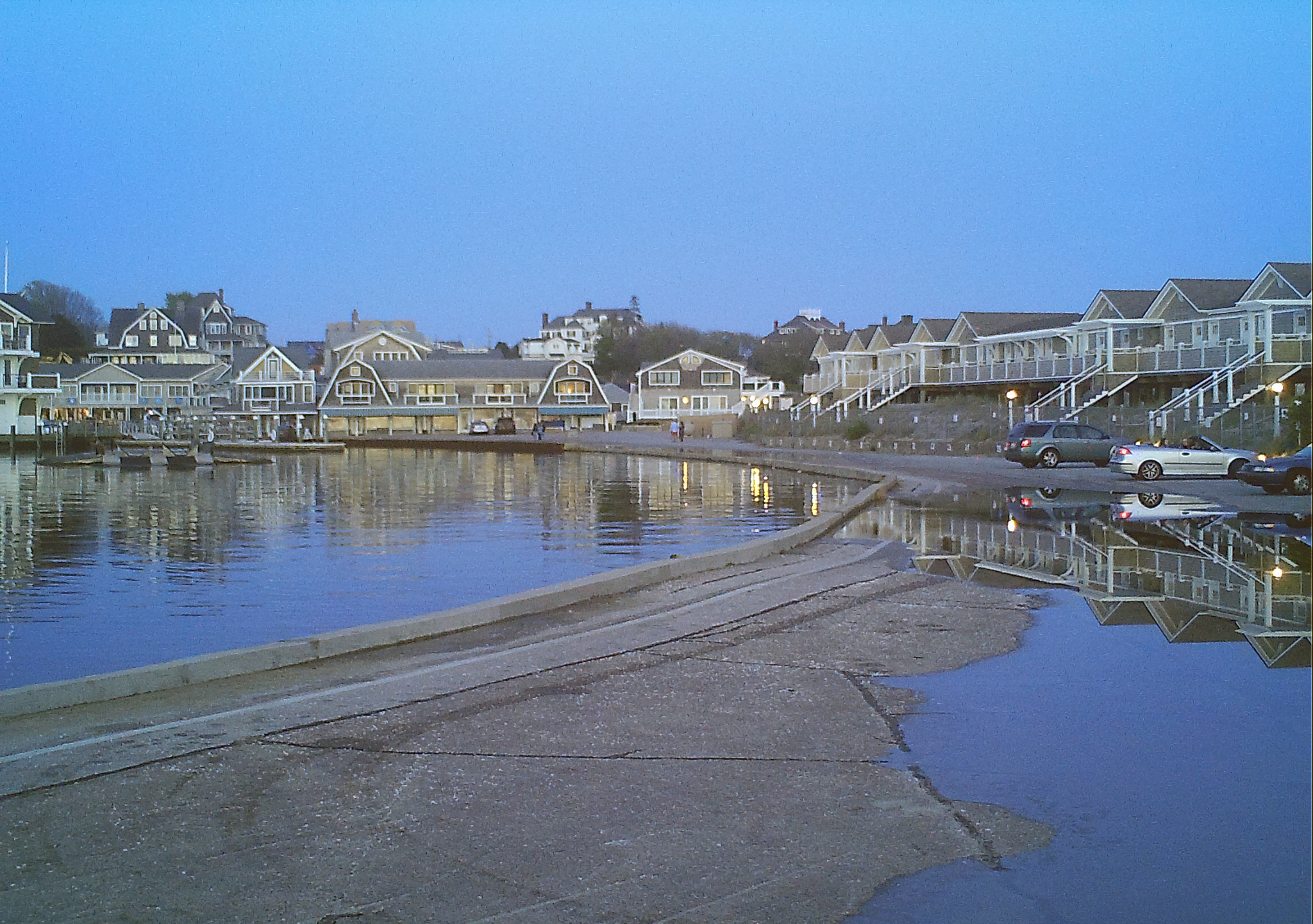
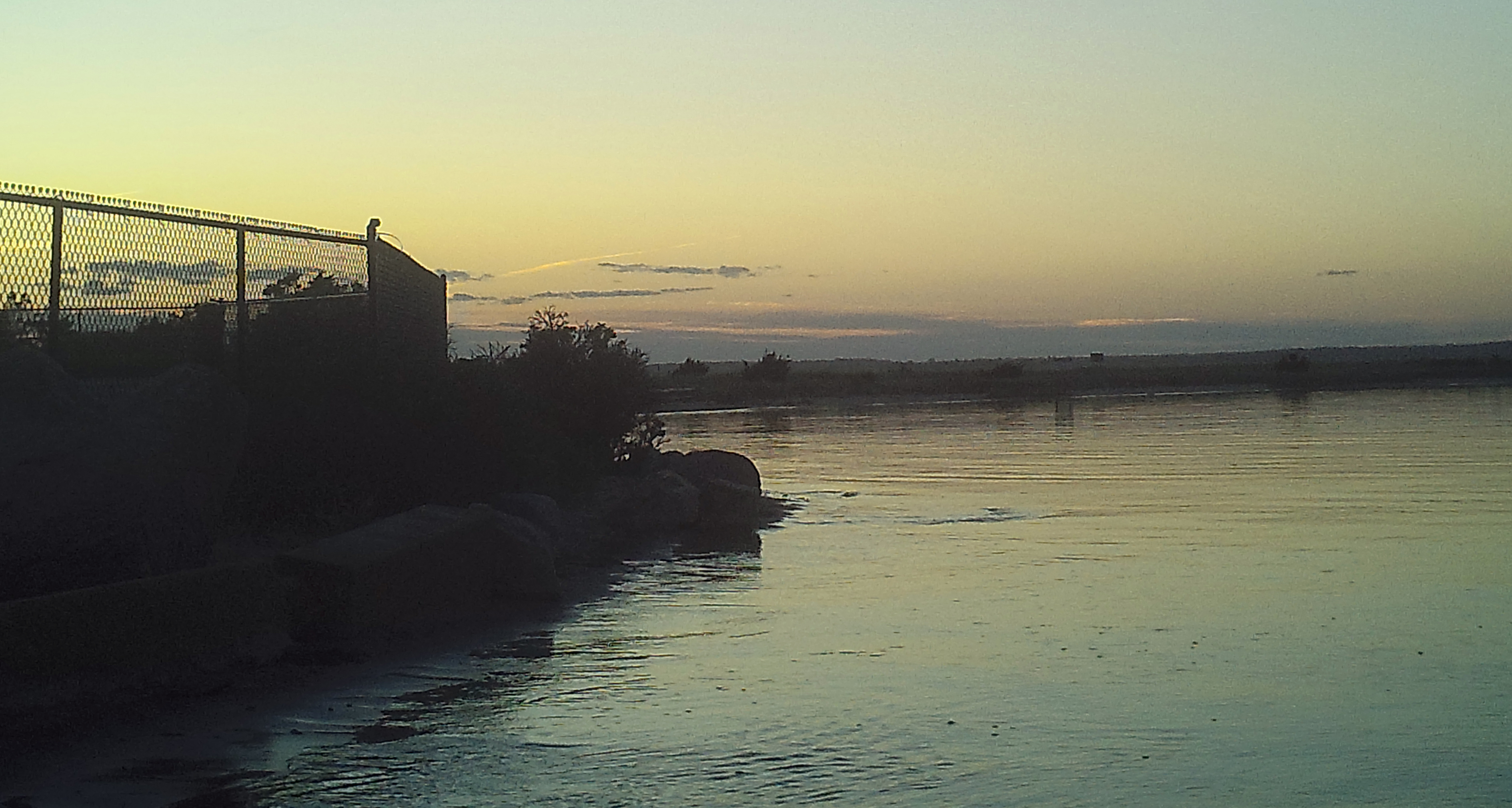
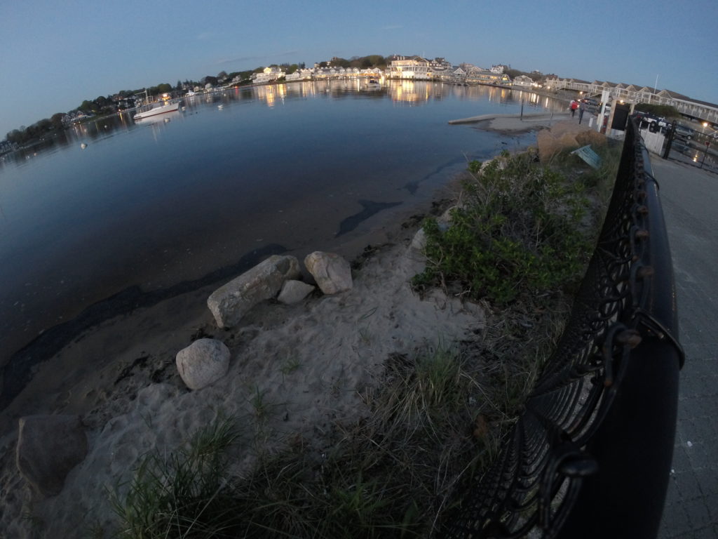
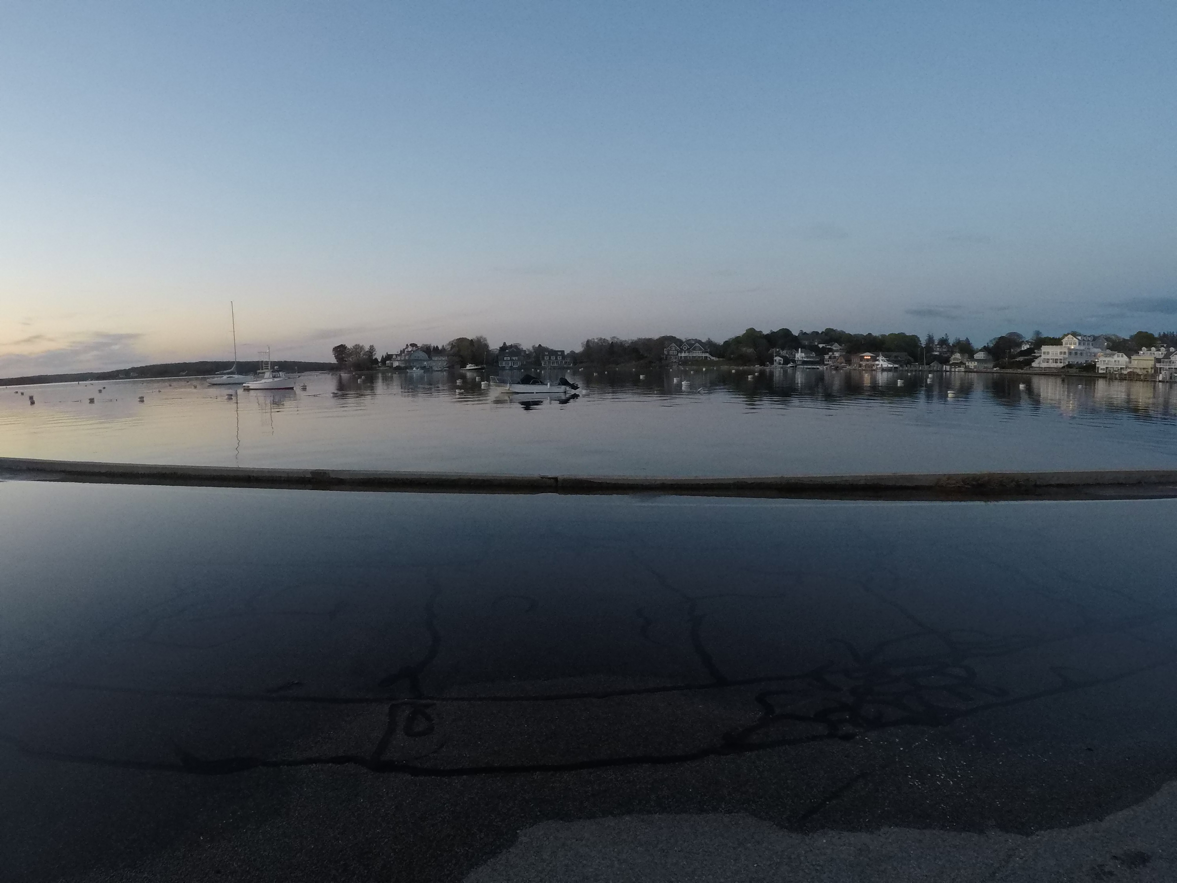
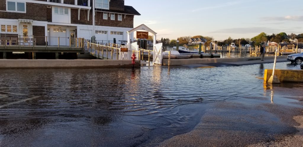
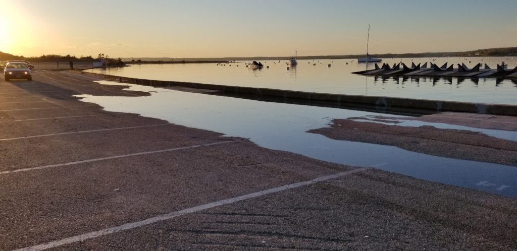
Images of a naturally-occurring high tide on 16 May 2019. This full moon tide was 1 foot above the average of the highest daily tides. This occurs frequently. Photos taken at Fort Road and the entrance to the Napatree Point Conservation Area.
Project Lead:
Bryan A. Oakley, Eastern Connecticut State University and Napatree Science Advisor
With Support From:
Grant G. Simmons, Watch Hill Fire District Park Commission
Kevin Rogers, The Watch Hill Conservancy Napatree Naturalist
Janice M. Sassi, The Watch Hill Conservancy Napatree Manager
Peter V. August, The Watch Hill Conservancy & URI Napatree Science Advisor
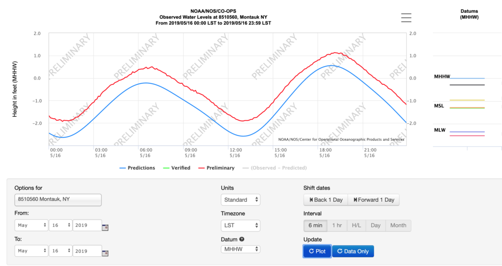
Tide Graph on 16 May 2019 (Relative to Mean Higher High Water — MHHW, Watch Hill Harbor Time Delayed 1 hour from Montauk):
Inundation Time Lapse Videos (click location to start video)
Napatree Entrance
Cabanas Lot
Yacht Club
West Cabana Lot Drain
Maximum Inundation Extent Images — 1 Foot Above Normal High Tide