The Watch Hill Conservancy’s mission is to conserve, enhance, and maintain the natural, scenic, and historic values of Watch Hill and Little Narragansett Bay
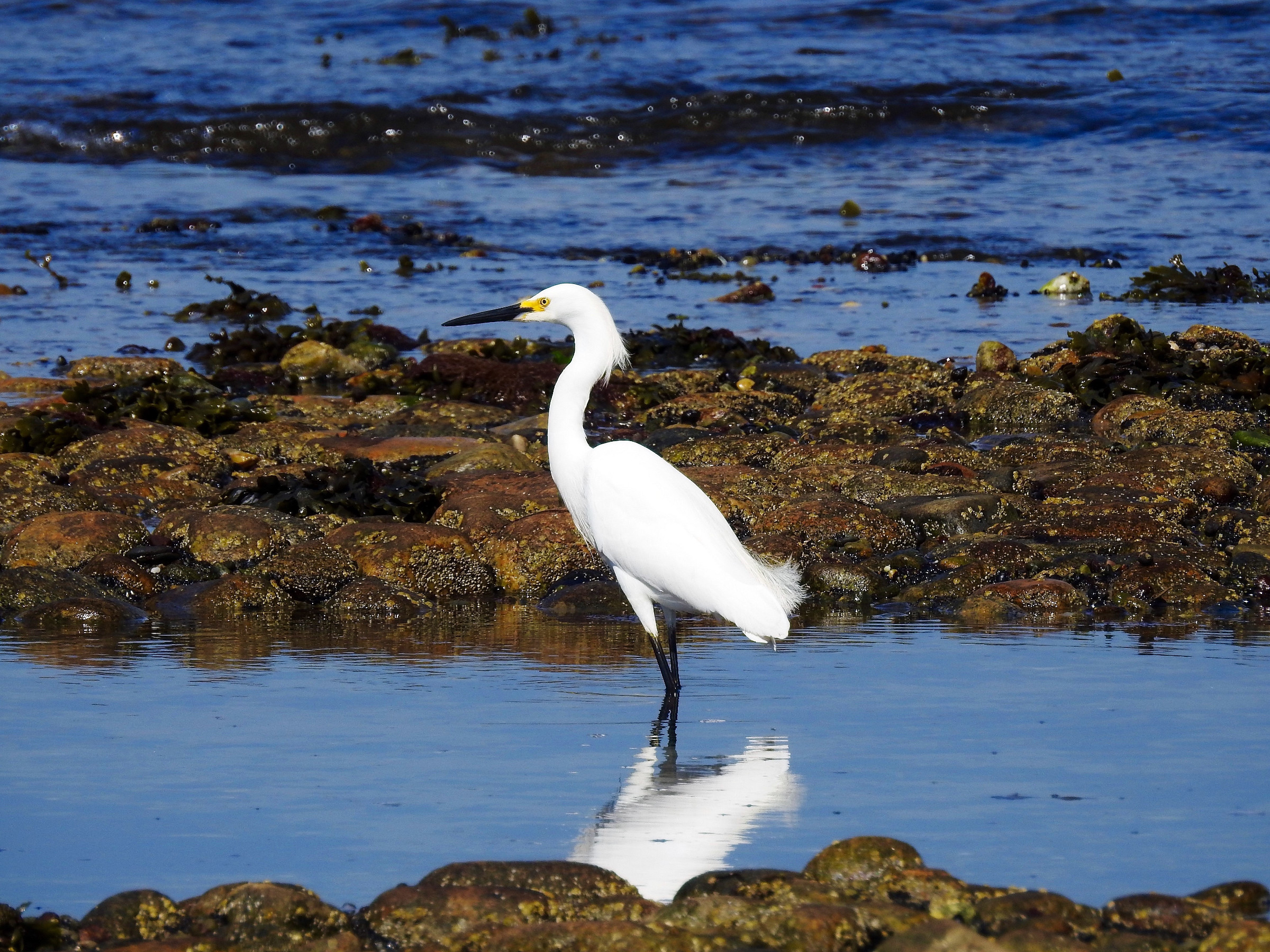
The Napatree Point Conservation Area is recognized as a national model for natural area stewardship and is regarded as a premier destination for visitors to enjoy its dramatic natural beauty and spectacular wildlife. When planning your visit to Napatree Point Conservation Area, you may want to consider parking, restrooms, and… Continue reading
Bay Street Improvement
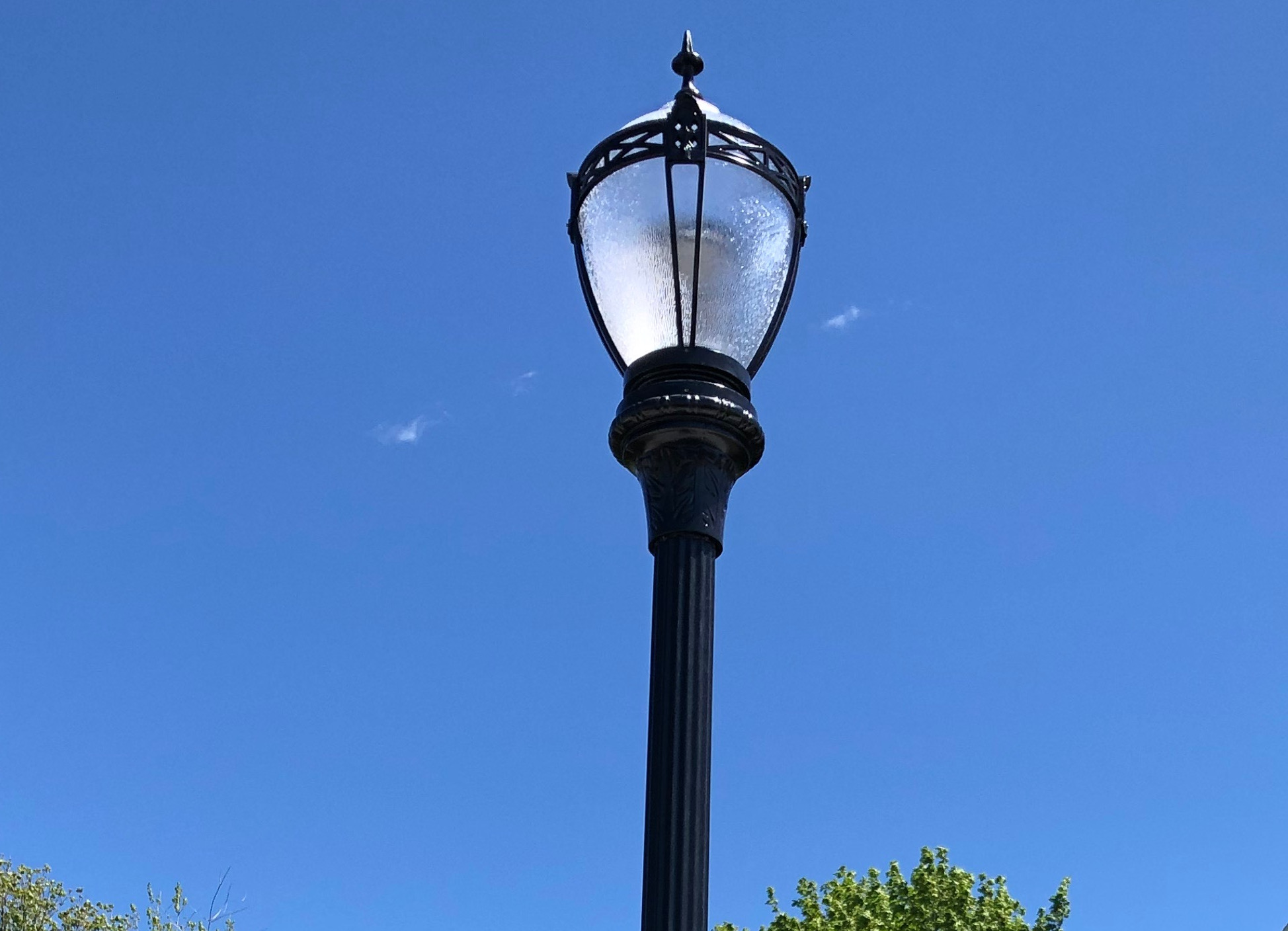
The Conservancy undertook a major project to remove the 73 unsightly utility poles located in and around the Village of Watch Hill, along the loop of Bay Street, Fort Road, Larkin Road, Bluff Avenue and Plimpton Road. This ambitious endeavor included burying electrical lines, water lines, storm drainage and relocating the electrical transformers.
Planning for Resilience
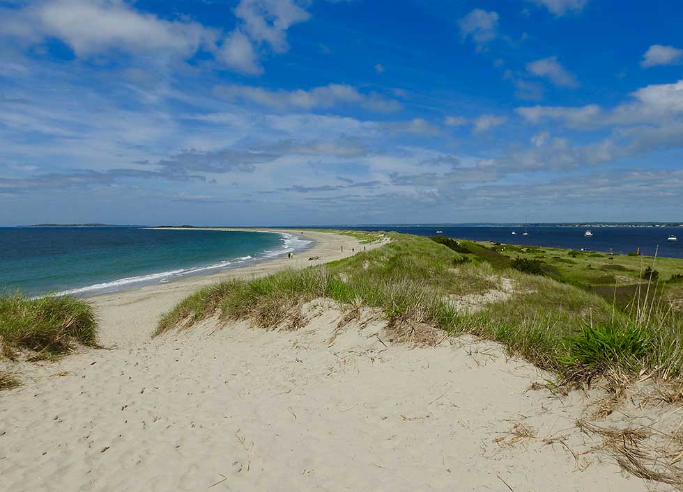
Watch Hill, by nature of its low elevation and proximity to the sea, is extremely vulnerable to inundation from sea level rise and storm surge. Nuisance tides now flood many streets in the community and access to some local destinations such as the Beach Club, Yacht Club, and Beach Cabanas is already difficult. Conditions will only get worse as sea levels rise.
Informing Community
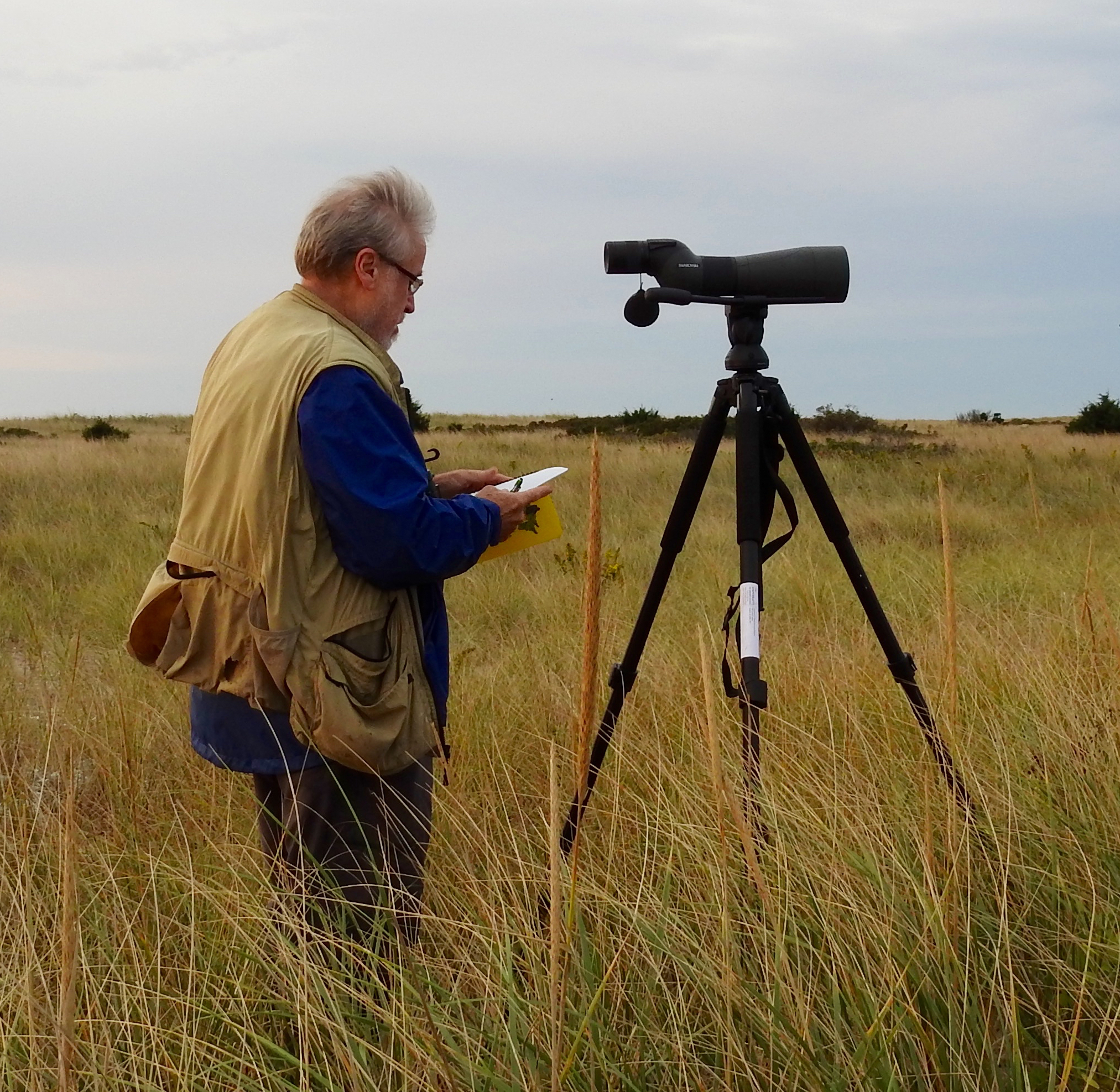
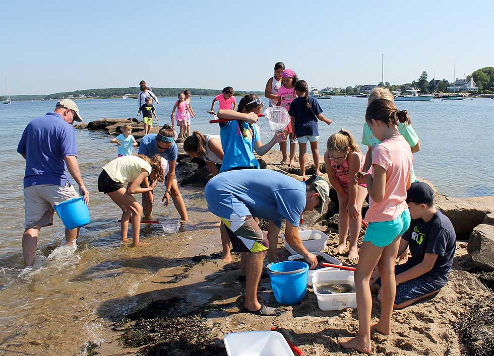
A common theme that ripples through many of The Watch Hill Conservancy’s programs is informing our community. Young, old, residents, or visitors, we strive to make our community better aware of environmental, social, technical, political, and literary issues. We do this in many ways.